Wide Selection of Maps
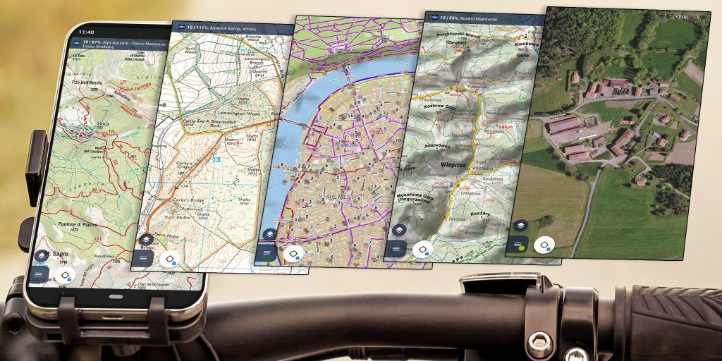
Maps are the basis for successful orientation in the terrain. Locus Map offers a wide range of offline and online maps, suitable for all your outdoor activities.
Always know where to go
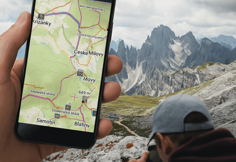
Select your destination, plan your own route or import a route from the internet. Locus Map will navigate you. On road or off road, as you wish.

Record, share and export your tracks
Fully customizable track recording with accurate stats for your workout diary. Share tracks to Strava or other services or export them into many formats.

Plan your routes like a pro
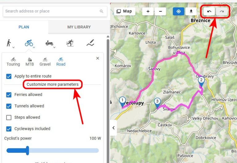
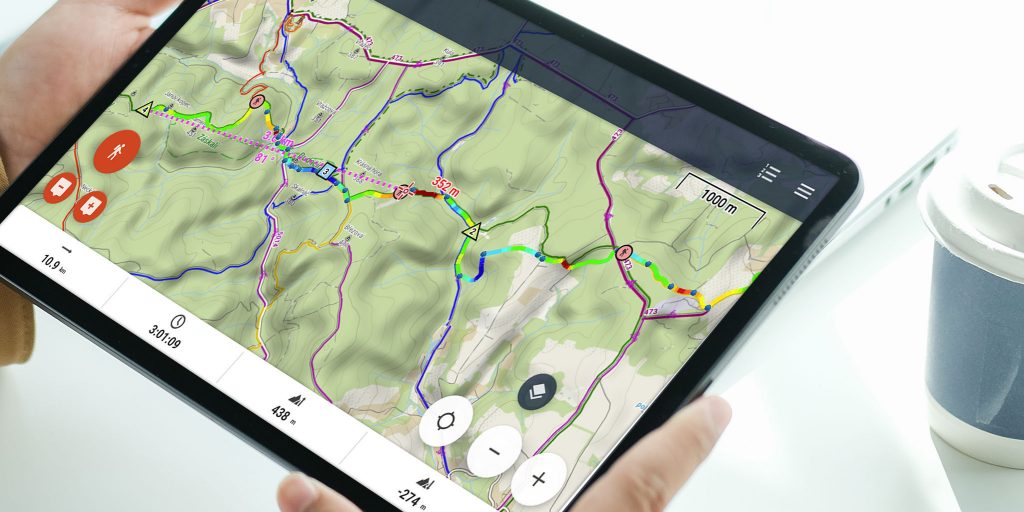
Get the best route for your trip with our enhanced route planner. Draw and drag the route line wherever you want, it’ll help you find the right way. It’ll show you elevation profile, road surfaces and way types. It’ll make a round trip for you or more routes to one destination.
No need to be online
Offline maps and offline routing gives your the right feeling of freedom in the middle of nowhere. Navigate or plan your routes wherever you want. With offline maps you’ll always know where you are.

Create your own app
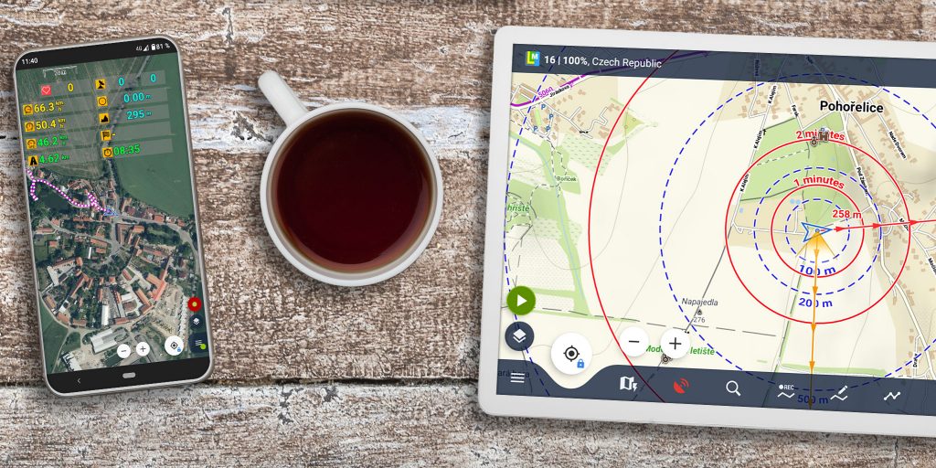
Customize the main screen, feature panels, menu… Display only the features you really need and use. Control the main app from your wrist – Locus Map communicates with Garmin, Wear OS and Tizen watches.
Biking >>
- full cyclocomputer dashboard with handsfree display control
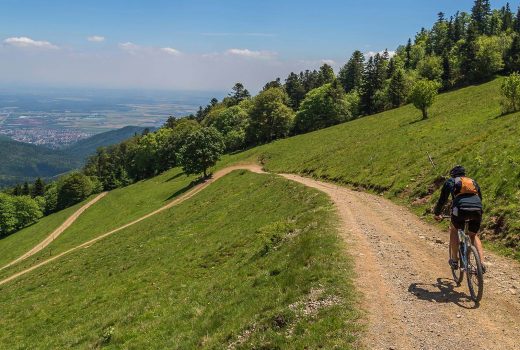
- worldwide offline cycling maps
- turn-by-turn voice navigation
- automatic export to Strava and other services
- support for BT and ANT+ sensors

Geocaching >>
- easy and fast import of geocaches for offine use
- online/offline logging
- drafts management
- graphic and mathematical GC tools
- beeline guidance with sound and vibration alert

Running >>
- multi-parameter audio coach
- enhanced statistics
- energy consumption calculation
- support for external HR monitors
- automatic export to online services and communities

Skiing >>
- winter theme of LoMaps with pistes and groomed ski trails
- slope gradient coloring for ski mountaineers
- 24/7 worldwide weather forecast

Hiking >>
- great selection of the best quality offline hiking maps
- intelligent battery-saving GPS mode
- offline route planning
- multi-profile track recording
- navigation along own and imported routes
Cartographia
Detailed and accurate hiking and cycling maps by the leading Hungarian publisher. Maps from the “Aktív” recreational series display rich content – tourist sights, highlighted hiking routes, recommended, waymarked and unmarked cycling routes, distances in the surrounding area with locations of cycle hire and repair facilities, pilgrimages and nature trails. Map symbols mark sport and recreational facilities, campsites, historic buildings, scenic views, camps, tourist huts, etc.
LoMaps
Especially optimized for Locus Map, these OSM based offline vector maps are the best choice for the best price. They contain addresses, points of interest, elevation data, can change themes (hike/bike, winter, road and city) and cover the whole world.
Ordnance Survey
Maps of Great Britain, combining data of two major OS paper map series – 1:50.000 scale Landranger and 1:25.000 Explorer. Upper zooms show fewer details and are suitable for longer distance cycling, driving and holidays. Lower scale is ideal for walking, running, mountain biking and horse riding.
Outdooractive
Maps are available in Summer and Winter versions, covering Austria, Germany and Northern Italy. Summer maps display a rich set of topographic features with detailed contour lines, rock drawings, hiking tracks and bike routes. Winter maps are optimized in color and feature ski runs, ski lifts, cross-country skiing tracks and slope gradients.
IGN France
Detailed and accurate topo and aerial maps of France produced by the largest French cartographic publisher. Topo maps contain complete tourist content including marked hiking and cycling trails. Maps are available online and offline in several zooms down to very detailed 1:10.000.
Swisstopo
Detailed and precise hiking maps of the whole Switzerland by a traditional Swiss cartography publisher. The maps are characteristic by its clear rendering, dense contour lines, accurate rock drawings and of course complete tourist infrastructure – marked paths, huts etc.
SHOCart
Hiking and cycling maps of the Czech republic and Slovakia show marked hiking routes, cycling routes as well as other hiking and tourist infrastructure (tourist huts, camps, sights, cableways, tourist information centers, …). Cycling maps contain also classification of surfaces and a dense network of recommended cycling trails.
Planinska zveza Slovenije
Maps of Alpine Association of Slovenia display trails, mountain huts, paths, natural and cultural points of interest, tourist infrastructure and everything else important for activities in the nature are represented in detail. PZS maps are continuously updated by volunteers of Slovenian alpine clubs.
Compass
Maps of the most attractive tourist areas in Poland and partly in Western Ukraine contain precise, terrain-proved rendering with rich tourist content – hiking, cycling, horse-riding paths and trails, architectural and natural landmarks.
AccuTerra
Maps of USA based on combination of data from the national parks, national forests, and BLM lands, state parks, local parks, and high-use recreation areas, alongside data from the OpenStreetMap community. An unparalleled mapping product for outdoor recreation and rural use.
Other national and local map providers
IGN Belgium, Onmaps Germany, CUZK Czech rep., Freemap Slovakia, Osmapa Poland, Turistautak Hungary, Cartographia Hungary, USGS USA, Skoterleder Sweden, Statkart Norway, Kapsi Finland, Jana Seta Baltic maps, Topomaps New Zealand, CNIG Spain, Geoscience Australia, Kortforsyningen Denmark, Map5 Netherlands and many others
Blog posts
