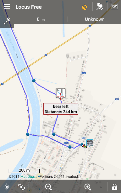
Jak jste si již zřejmě všimli, mapy MapQuest od 11. července nejsou v nabídce online map v Locusu. Dodavatel těchto map, které byly v nabídce Locusu od samého počátku existence aplikace, radikálně změnil podmínky čerpání svých mapových dat. A to do takové míry, že jeho návrat momentálně není možný ani za cenu zpoplatnění zdroje. Zprvu to vypadalo na určité placené plány stahování, nejčerstvěji ovšem MapQuest odstavil přímé přístupy na své datové servery a nutí vývojáře použít vlastní programové řešení (SDK). Tento postup je pro nás bohužel nepřijatelný i z technického hlediska, a tak se s mapami MapQuest loučíme (online routovací služba MapQuest, potřebná pro tvorbu tras a navigaci, je v Locusu dostupná i nadále).
Čím jej nahradit?
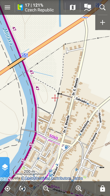
Základní topo mapy MapQuest lze plně nahradit jakýmikoli mapami, vycházejícími z dat projektu OSM – nejlépe našimi LoMapami, které používáte offline a můžete u nich přepínat mezi mapovými tématy. MapQuest zrovna neoplýval podrobností a v oblastech mimo USA byl značně neaktuální, nicméně byl nastaven v některých státech jako výchozí mapa při prvním spuštění Locusu. V takových případech byl nahrazen outdoorovou mapou projektu OpenStreetMap.


Co je ovšem hůře postradatelné, je jeho vrstva satelitních map, která byla v mnoha státech jedinou svého druhu, které byly v nabídce Locusu. A to například v již zmíněných USA nebo v Německu. Uvítáme tedy tipy na kvalitní satelitní/letecké mapy Německa, USA a dalších států Evropy kromě Česka a Rakouska – v České republice máme v nabídce letecké mapy ČÚZK, v Rakousku mapy projektu Basemap.at.
Všem, kdo MapQuest z nějakého důvodu postrádají, se omlouváme, ke změně nedošlo naší vinou. Děkujeme za pochopení.
mapquest


16 Comments
Is ther a reason we cant have the ability to use our own google api? I understand why you cannot provide the access to everyone, but i have my own api from Google thai use on fully approved web properties.
We were planning to make a workaround with personal APIs but MapQuest disabled all direct links to the tile storage - the only access to their tiles are via their own API/SDK solution that we refused to implement.
I just want to offer my continuing respect and loyalty. Locus Pro remains the best application for mapping, routing, navigation, etc of anything I've seen, either mobile or desktop.
In guessing that the maps used by Google are just as restricted at this point as are Mapquest maps now. In not sure what Apple is using, or what their terms would be to share, but they appear to be using something different from Google. Just thoughts.
I do appreciate the 3 free LoMaps, though so far I've only downloaded the one for my home state. I've not decided yet which others would be of best benefit to me.
Anyway, please be aware that I am not a fickle user like a number of reviews. Locus is still the best, and Mapquest's arrogance in this case week not dissuade me from my resolution to keep Locus as my map of choice in all cases. I look forward to the eventual return of satellite images from a reasonable alternate source, and I compliment Asamm on developing a to-notch application for android. Thank you!
Hi Ken,
thank you for your kind words. A you say, Google maps usage is restricted in similar way. Apple products use very poorly furnished Apple maps (see e.g. http://www.tomshardware.com/picturestory/607-ios-maps-fail.html). We sincerely hope you'll find a replacement for MapQuest maps that you'll be happy with.
For satellite/aerial maps of Poland, check Geoportal
Yes, we've done so. Now we are solving their terms of use but we believe we'll manage.
Bing provides high quality aerial images in Germany and most other countries. Don't know the exact terms of use, though. I only use it for OpenStreetMap mapping.
Bing terms of use in third party apps are sort of similar to those of MapQuest...
For aerial imagery of the USA, have you checked into what the source is for the BackCountry Navigator app? I believe they use the US Geologic Survey and caltopo. I hope you're able to come to terms with an imagery provider.
Hi,
thanks for the tip. We'll have a look at their terms of use.
Glad to see you're able to provide the USGS aerial imagery.
Swiss Topo ist seit Kurzem frei zugänglich.
https://map.geo.admin.ch/?bgLayer=ch.swisstopo.pixelkarte-farbe&lang=de&zoom=6&Y=673500.00&X=146610.00&time_current=latest&topic=ech&layers=ch.swisstopo.swisstlm3d-wanderwege
Swisstopo frei zugänglich ist nur auf ihrer Website.
Have you looked at MapBox
Hi, yes we did but MapBox requires their own SDK library implemented in Locus which is the way similar to the MapQuest and which we'd like to avoid.
Satellite maps for Sweeden, Norway, Denmark? Any chance og getting this? Othervise I really enjoy Locus (former Viewranger user)