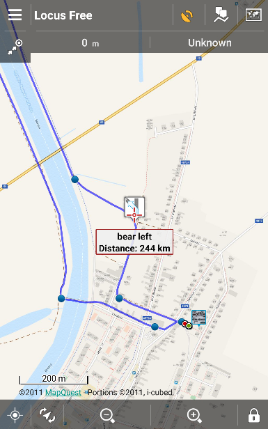
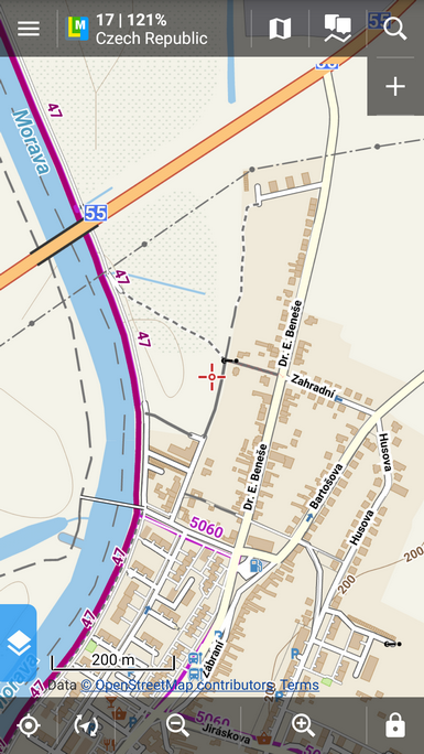
Wie Sie wahrscheinlich bemerkt haben, sind die MapQuest Karten seit 11.07.2016 nicht mehr im Locus Online-Karten Portfolio enthalten. Der Anbieter dieser Karten, die seit Anfang an Teil des Locus Angebotes gewesen waren, hat leider die Nutzungsbedingungen für diese Karten radikal verändert. Und zwar in einem solchen Ausmaß, dass es leider nicht möglich ist diese wieder in Locus zu integrieren – nicht einmal wenn wir für diese Kartenquelle bezahlen würden.
Anfangs schien es so als ob MapQuest lediglich einige Anbote bzw. Pakete kostenpflichtig machen würde nur schaltete dann MapQuest die bisherigen direkten Zugangslinks zu den Kartenservern komplett ab und begann die Entwickler zu zwingen, die eigene MapQuest Lösung (SDK) zu verwenden. Da dieser Ansatz für uns leider aus technischer Sicht nicht akzeptabel ist, müssen wir uns bedauerlicherweise von den MapQuest Karten verabschieden. (Das MapQuest Online-Routing-Service, das für die Routenplanung und Navigation in Locus nötig ist, bleibt weiter verfügbar).
Womit sollen die Karten ersetzt werden?
Die normalen MapQuest Topo Karten können vollständig durch alle Karten die auf dem OSM Projekt basieren ersetzt werden – am Besten durch unsere Asamm LoMaps die offline funktionieren und in Ihren Aussehen durch verschiedene Kartenthemen verändert werden können. Die MapQuest Karten waren nicht unbedingt sehr detailliert und außerhalb der USA auch oft veraltet. Bis jetzt wurden die MapQuest Karten in einigen Ländern beim Start der APP als Standard Online Karte angezeigt – hier wird nun die OpenStreetMap Outdoor Karte verwendet.


Nicht so leicht zu ersetzen sind leider die MapQuest Satellitenkarten die in einigen Ländern die einzigen Ihrer Art im Locus Portfolio waren. Zu nennen sind hier im speziellen Deutschland und die USA. Sollten Sie daher Tipps für uns haben wo es solche hochqualitativen Satellitenkarten der USA, Deutschland und von anderen Europäischen Ländern gibt wären wir Ihnen sehr dankbar – ausgenommen sind Tschechien und Österreich, hier gibt es die von den jeweiligen Regierungen unterstützen Projekte ČÚZK und Basemap.at.
Wir möchten uns in aller Form bei jenen Kunden entschuldigen die die MapQuest Karten nun schmerzlich vermissen – diese Änderungen waren in keinster Weise von uns so gewollt. Danke für Ihr Verständnis.
mapquest


16 Comments
Is ther a reason we cant have the ability to use our own google api? I understand why you cannot provide the access to everyone, but i have my own api from Google thai use on fully approved web properties.
We were planning to make a workaround with personal APIs but MapQuest disabled all direct links to the tile storage - the only access to their tiles are via their own API/SDK solution that we refused to implement.
I just want to offer my continuing respect and loyalty. Locus Pro remains the best application for mapping, routing, navigation, etc of anything I've seen, either mobile or desktop.
In guessing that the maps used by Google are just as restricted at this point as are Mapquest maps now. In not sure what Apple is using, or what their terms would be to share, but they appear to be using something different from Google. Just thoughts.
I do appreciate the 3 free LoMaps, though so far I've only downloaded the one for my home state. I've not decided yet which others would be of best benefit to me.
Anyway, please be aware that I am not a fickle user like a number of reviews. Locus is still the best, and Mapquest's arrogance in this case week not dissuade me from my resolution to keep Locus as my map of choice in all cases. I look forward to the eventual return of satellite images from a reasonable alternate source, and I compliment Asamm on developing a to-notch application for android. Thank you!
Hi Ken,
thank you for your kind words. A you say, Google maps usage is restricted in similar way. Apple products use very poorly furnished Apple maps (see e.g. http://www.tomshardware.com/picturestory/607-ios-maps-fail.html). We sincerely hope you'll find a replacement for MapQuest maps that you'll be happy with.
For satellite/aerial maps of Poland, check Geoportal
Yes, we've done so. Now we are solving their terms of use but we believe we'll manage.
Bing provides high quality aerial images in Germany and most other countries. Don't know the exact terms of use, though. I only use it for OpenStreetMap mapping.
Bing terms of use in third party apps are sort of similar to those of MapQuest...
For aerial imagery of the USA, have you checked into what the source is for the BackCountry Navigator app? I believe they use the US Geologic Survey and caltopo. I hope you're able to come to terms with an imagery provider.
Hi,
thanks for the tip. We'll have a look at their terms of use.
Glad to see you're able to provide the USGS aerial imagery.
Swiss Topo ist seit Kurzem frei zugänglich.
https://map.geo.admin.ch/?bgLayer=ch.swisstopo.pixelkarte-farbe&lang=de&zoom=6&Y=673500.00&X=146610.00&time_current=latest&topic=ech&layers=ch.swisstopo.swisstlm3d-wanderwege
Swisstopo frei zugänglich ist nur auf ihrer Website.
Have you looked at MapBox
Hi, yes we did but MapBox requires their own SDK library implemented in Locus which is the way similar to the MapQuest and which we'd like to avoid.
Satellite maps for Sweeden, Norway, Denmark? Any chance og getting this? Othervise I really enjoy Locus (former Viewranger user)