Loads of features. Loads of maps to download. Loads of settings and customizations. One thing was missing – loads of tracks to download. Until now.
Welcome to GPSies!
There are many options how to get tracks into Locus Map – record them, import them from files… And import them directly from some web database. Until now we have offered connection to regional services like Trail.pl or Vylety-zabava.cz. So far so good but guys from Germany or USA, not mentioning the rest of the World, had to download their favorite tracks manually as GPX files and then copy/import them to Locus Map. Laborious, time consuming, annoying.
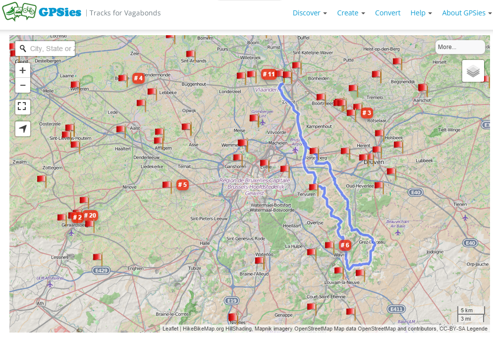
Beginning with Locus Map version 3.12.0. we are presenting a brand new, fast and comfortable connection to one of the vastest worldwide track databases – GPSies.com
How to get those 3.000,000 tracks in my phone?
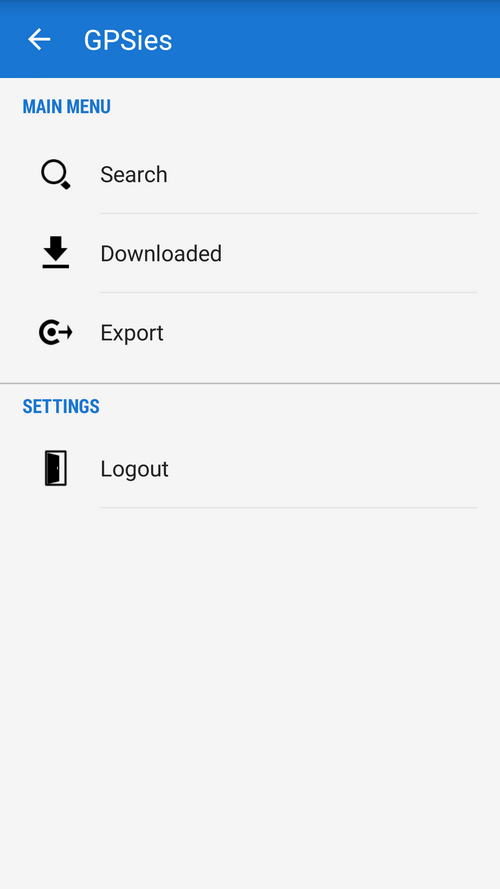
- go to Locus Map > Main menu > Web services > GPSies
- log in GPSies.com
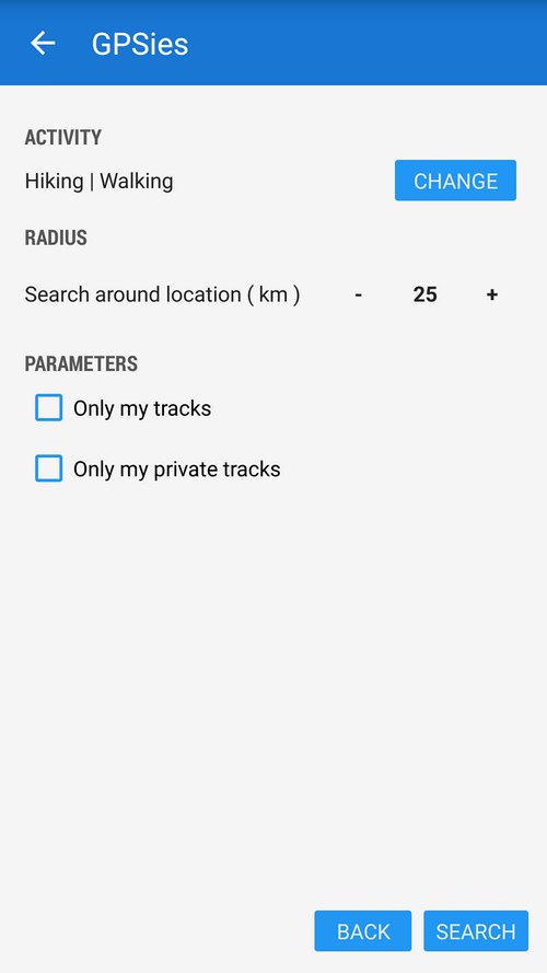
- tap Search
- select activity – hiking, running, cycling…
- set radius around you or the cursor position on the map
- check if you want to display only your own or private tracks
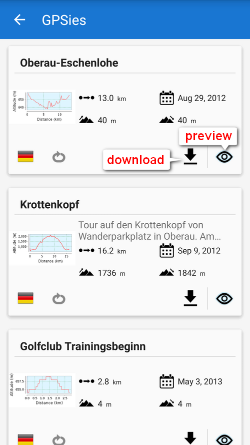
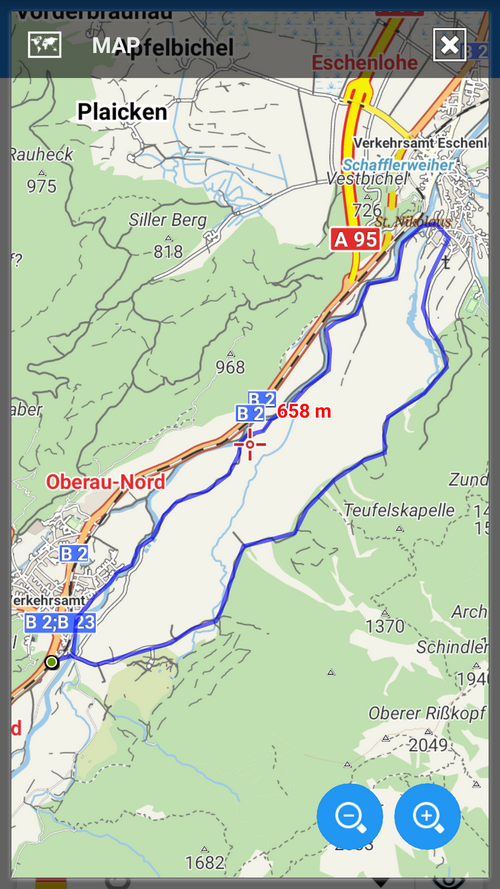
- browse tracks in the list of search results – select one according to its elevation profile, length or elevation gain, or map preview (“eye” button)
- download selected track
- the track appears in GPSies folder in Data manager items tab – tap to display it on map
Can I check what tracks I’ve already downloaded?
Yes, tap Downloaded in Web services > GPSies main menu. You’ll get straight to the GPSies folder in Data manager.
Can I export my tracks to GPSies.com?
Of course you can. There are two ways:
- from the Web services > GPSies – tap Export in the main GPSies menu and select a track from your Locus Map database
- from the track detail screen menu – select a track, tap menu button in the bottom right, select Export > tap Export type > select GPSies
Enhanced navigation auto recalculation
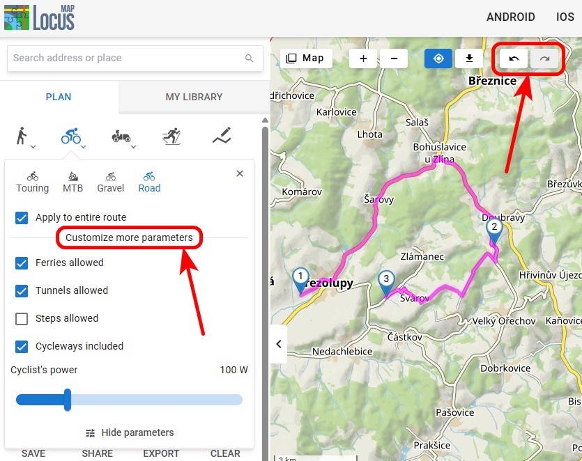
Upon numerous requests of you we looked into the navigation auto recalculation feature and as a result there are two options of its setting:
Point priority
When leaving the route navigation recalculates to the nearest “via” point of the route or, if there are no via points, to the route’s final point. Useful for cases when you need to get from point A to point B and the route in between doesn’t matter – navigation to a point.
Route priority
When you leave a pre-defined route because of a detour or unexpected obstacle, navigation tries to recalculate the way to get back to the pre-defined route as soon as possible. Suitable for trips where you need to follow the pre-defined route exactly – e.g. on bike rides, when hiking etc. – navigation along a route.
The setting can be found in Menu > Settings > Navigation > Auto-recalculation.
Is that all?
Not at all! The new release contains a lot of improvements in graphics, mainly in dialogs and screens, in usability, minor fixes etc. As usual, we keep moving!
automatic recalculationgpsiesGPSies.comtrack databasetracks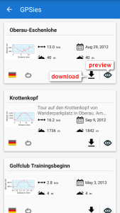

2 Comments
Neviem, čo robím zle no neide mi zobraziť trasy v GPSies :(
Dobrý den,
pokud nebudeme vědět, co přesně a jak se vám nedaří, nabudeme vám schopni pomoci. Zkuste se podívat na postup do manuálu viz https://docs.locusmap.eu/doku.php?id=cz:manual:user_guide:maps_tools:gpsies popř. https://docs.locusmap.eu/doku.php?id=cz:manual:user_guide:tracks:export. Pokud nebude uvedený postup fungovat, ozvěte se nám na help.locusmap.eu.