Large bike resorts like those in Alps or in Whistler usually offer a decent dedicated map app of the area with trails, trailheads, emergency spots etc. With some you can navigate the trails or find out useful stats like length of trails or distance to the nearest pub.
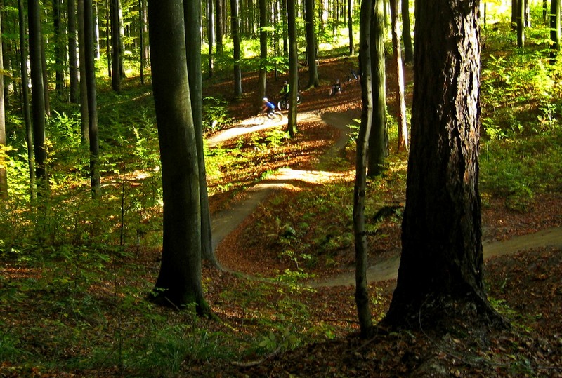
Many bike parks, however, don’t provide such digital luxury and bikers-mobile geeks must help themselves. Locus Map is the perfect solution, packed with all features you need:
- map image calibration
- route planner
- navigation
- track recording
Is there any map at all?
Even the smallest and start-up bikeparks usually have some map of their facility. In most cases, the map is drawn by hand or is styled in a playful way for bike families with kids, anyway, it can’t be used for mobile navigation – it must be calibrated first. The map can be found on the bikepark’s website or, at worst, on a board at its entrance. As an example we selected a small but well-maintained biking area near Jedovnice in the Czech rep. Here’s their map:
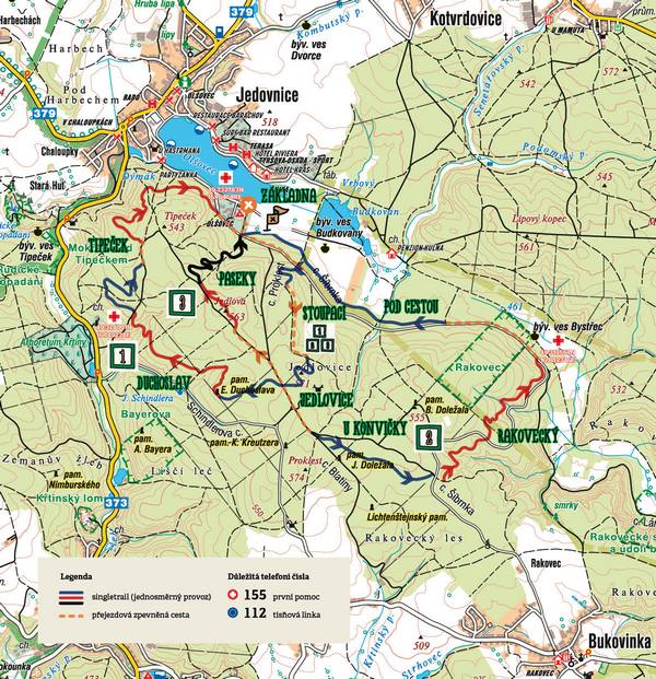
Get the map in Locus
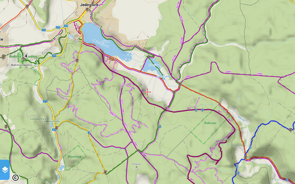
LoMap of the area the bike resort has stretched its trails around is quite detailed:
Nevertheless, having some more information in hand can be useful so we’ll calibrate the original map so that it can be used with GPS. Calibration is a process of adjustment of the image by a real map. We’ll use our LoMap as the muster. Exact procedure is described in detail in Locus manual >>. And here it is:
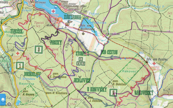
The map image is overlaid above LoMap in 50% opacity so that we can see details of both maps at once.
Trails are essential
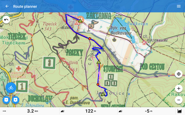
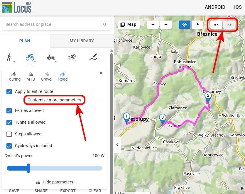
Okay, we’ve got the map – we know where the trails are. But if we want to be navigated along them, we have to re-create them in Locus Route Planner. We can draw the line in manual mode but that would be meaningless. As we could see on the LoMap, the area is quite well mapped so we can try some of the automatic modes drawn with help of a routing service. It goes pretty quick then:
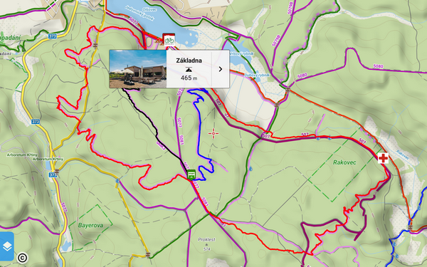
We can add important points and color the trails:
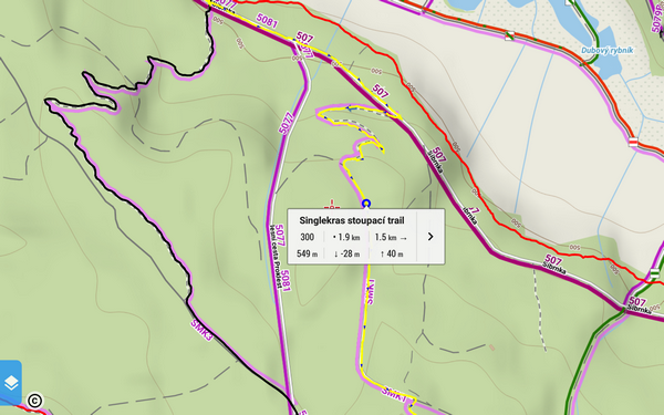
And now finally, the trails show their length, distance to the end and other useful info:
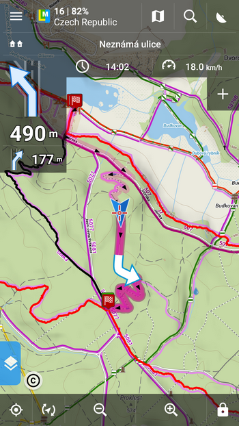
Let’s go for a ride!
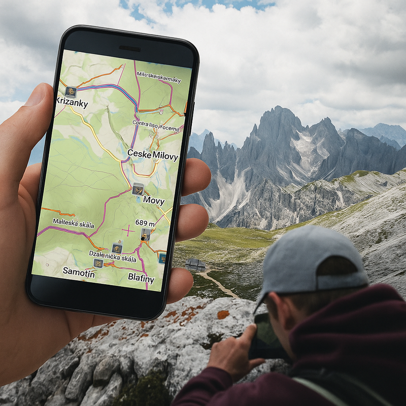
Now we’re ready – we have the bikepark map, we have trails with stats. Just mount your phone on hadlebars, tap trail of your choice and start navigation:

4 Comments
This is fantastic even if we draw routes manually using the overlay picture! There is just one thing worth clarification IMHO. How the " automatic modes drawn with help of a routing service" work? Is my assumption that routable map under the overlay is used correct? Or we do use the actual (photographed!) image to boldly route us where no one has routed us before? Again, this feature imho has great use. (Ask someone in the local pub to draw me paths in mountains over paper map e.t.c.)
Hi, not routable map but routing data provided by services cooperating with Locus (GraphHopper, BRouter etc.). These data, however, come from the same source as background map - OSM.
Hi! Great tutorial! What if I have a bunch of tracks (recorded in locus or otherwise) and I want to flatten them into a single offline map layer that I can share? Is there any tool to link together hundreds of GPX files without connecting the start / finish points? Thanks!
Hi, the baest way how to share a bunch of tracks is in a KMZ (or GPX) file but it's without the map. See https://docs.locusmap.eu/doku.php?id=manual:user_guide:tracks:export or https://docs.locusmap.eu/doku.php?id=manual:user_guide:functions:share#share_map_content. If you want to share a map, you can do it either with one track (Track overview, see https://docs.locusmap.eu/doku.php?id=manual:user_guide:tracks:management#track_route_detail_screen) or with more tracks but just as a screenshot of your phone display: https://docs.locusmap.eu/doku.php?id=manual:user_guide:functions:share#share_screen