There are a few ways how to use Locus for navigation on your bike. But which one is the best? Let’s sum it up and have a talk then.
A to B calculated route with classic voice navigation
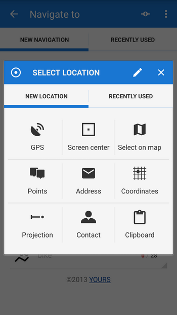
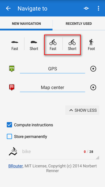
Let’s assume you use your bike as a means of transport around your city (perhaps you’re a bike messenger?). You just want to get from one point to another as fast as possible, no matter what places you see along the route, and you want the route to be planned quickly. Then this is the case – use the Navigate to feature, define your target, select bike as a means of transport and GO.
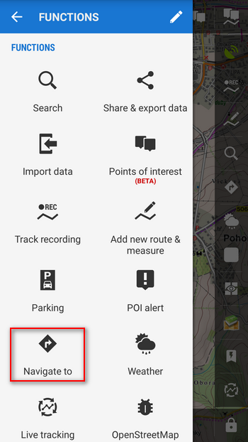
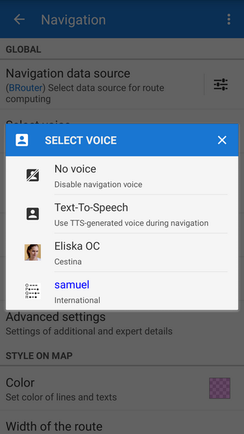
You might like some preliminary settings, for example selecting the routing engine – BRouter for offline routing, others (Yours, MapQuest) work online only – there’s usually no problem with GSM data in cities and the router sucks just a few kilobytes per hour (see Menu > Settings > Navigation > Navigation data source). Another thing is the navigation voice – either choose built-in TTS generated commands (not always the best solution) or some ready made voices (much better, downloadable e.g. here >>. See Menu > Settings > Navigation > Select voice). Lastly, select the way Locus re-calculates your route in case of a detour – select Point priority (see Menu > Settings > Navigation > Auto-recalculation)
Navigation along your own route
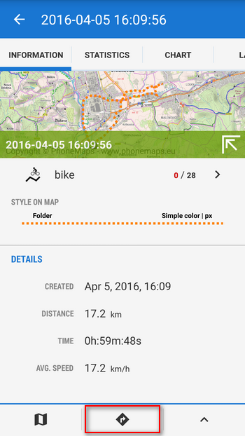
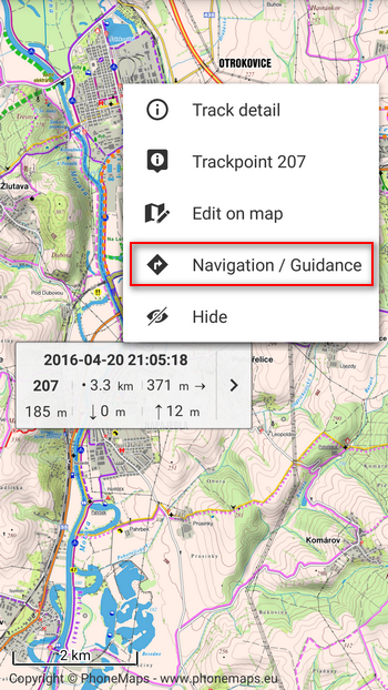
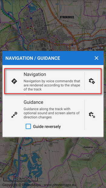
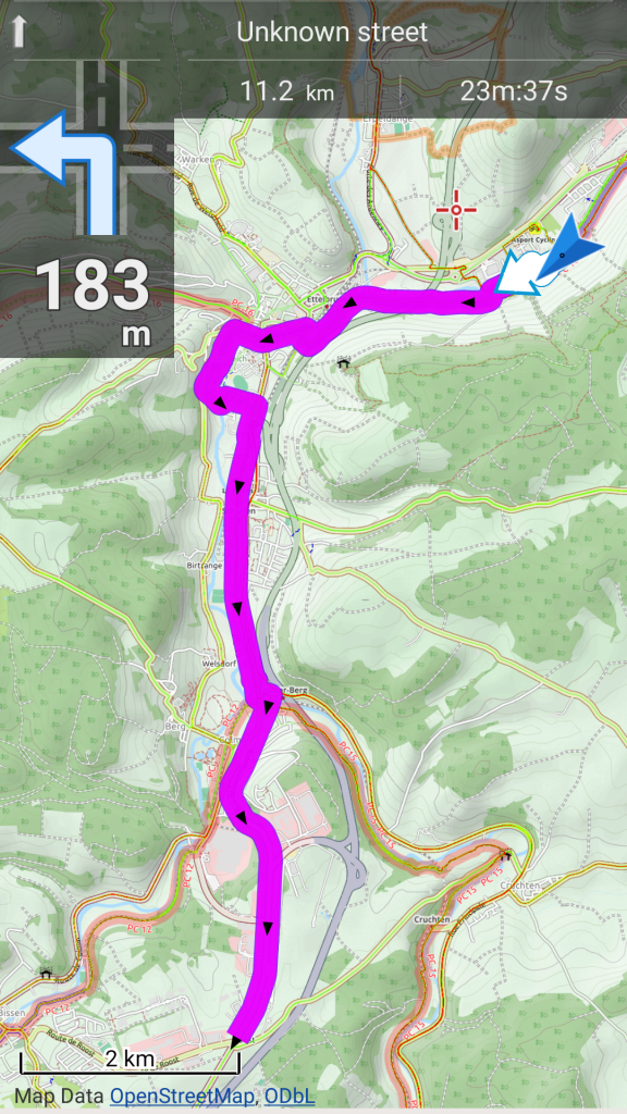
When you ride your bike for pleasure, to keep you fit or just for fun with your friends or family, you have probably your own favorite routes. You can make them up yourself in Locus or on some web planning service, you can import them from numerous internet databases. When you set out on the trip, just select the route in your data manager or tap it directly on the map and select “Navigation”. Locus starts navigating. You would need help of the router only in case of leaving your route (if you want it to recalculate your route – otherwise Locus switches itself to the guidance mode and shows you the way to the nearest point of your route. Don’t forget to re-set the Auto-recalculation mode to the Route priority). As for the navigation commands, Locus places them automatically on places with the most remarkable direction changes. Which means that not all intersections may be commented.
Guidance
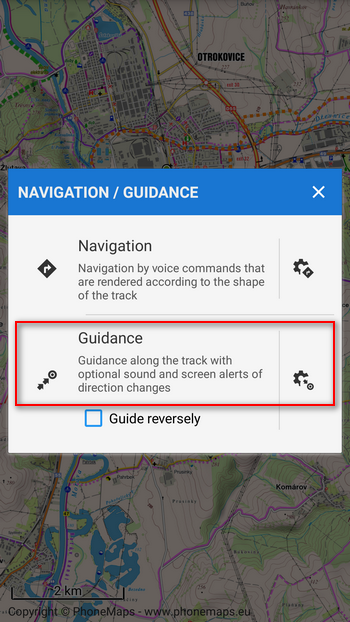
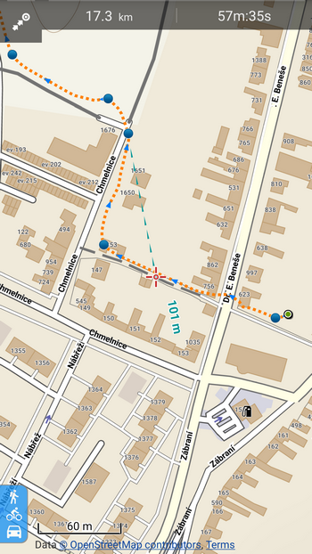
Guidance is a sort of simplified navigation – each route consists of routepoints and Locus guides you from one to another. At spots with remarkable direction changes Locus places simple commands that are just visual by default. If you want sound or TTS notifications you must turn them on in Menu > Settings > Guidance > Set notification of the next direction change – you can switch a beeper on, select any sound from your phone memory, engage a TTS engine. TTS commands are just simple turn left/right – no roundabout exits or lane changes etc.
Must-have bike-specific settings
As usual, Locus offers much more to make the bike navigation rider-friendly. For example touch-free control:
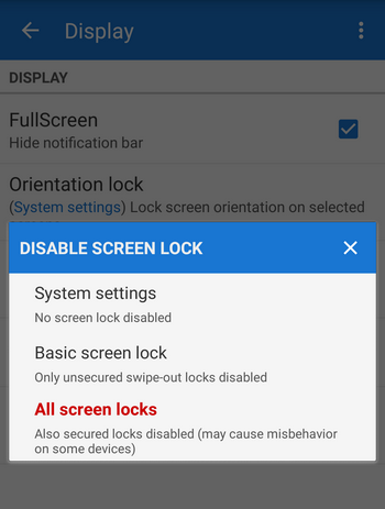
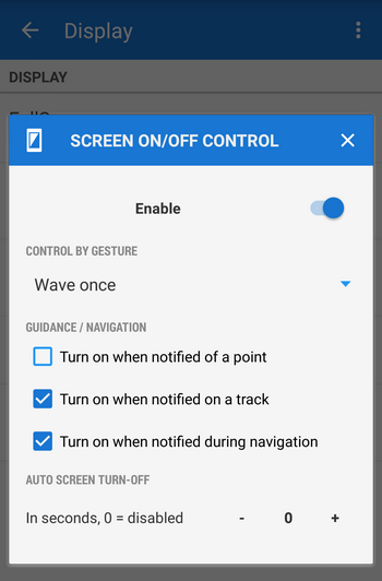
- Display settings – full-time screen on drains your battery very quickly. Therefore, go to the Menu > Settings > Display. First thing – Disable screen lock (select which one you use – just simple or some more sophisticated), then go to Screen on/off control and enable it. Check Control by gesture – you don’t have to grope for the phone switch to have a look at the map, just wave before its proximity sensor and the display turns on. Look at this video how it works. Check also Turn on when notified on a track/during navigation. This feature turns the display on in safe distance before a commented direction change.
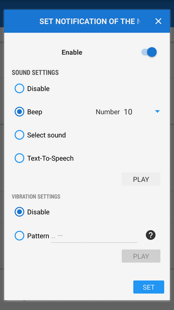
- Sound settings – voice navigation or TTS generated commands may not be audible on a bike – rattle of the equipment on rough surfaces, wind swishing around ears… And wearing earphones can be pretty dangerous. Beeping sounds are much better heard – either set the beeper on (1-10 beeps) or install Morse-beeping voice “Samuel” from Locus community (available here >>)
What about your own experience? Do you have any useful tips how to enhance your Locus bike navigation?
bikedisplay settingsnavigationsound settings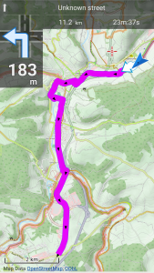

6 Comments
Missing function to recalculate route with different options (change fast to short) or adding points to route.
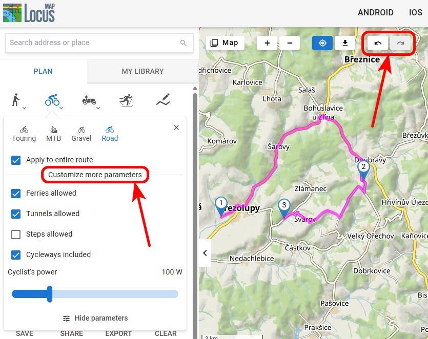
If you have any improvement ideas, use our voting system at help.locusmap.eu. Points can be added to route before navigation. Two transit points in "navigate to" function using router and unlimited number when creating you own route.
You can not share on facebook and I would appreciate it if your app was made for the Iphone.
Congratulations for your work done so far
Hi,
you can share points and tracks on Facebook with Locus... iPhone version is not planned so far.
Thanks for this great tool "Locus". It is always with me while biking. However, a friend of mine came up with a Garmin GPS and I found it quite fascinating to create automatic routes based on road type. I am using the maps from "openandromaps.org" and try to find as many small single track Trails for best Mountainbiking experience. Is there such Thing to "AutoRoute" based on the type of road: E. g. "please seect as many single tracks as possible for the combination of waypoints created". For example I would like to go biking on Sunday and enter four or five POIs I would like to come along. "Locus" should select based on as many small tracks.
Maybe impossible, but a wish anyways... Thanks for this great product! I am enjoying it always.
Regards,
Frank
Hi Frank, similar results can be achieved in Locus with BRouter routing engine. See some tips from this Locus forum topic: http://forum.locusmap.eu/index.php?topic=4064.0. Or, if it is too technical, wait for some of future Locus versions that will have enhanced navigation.